
The world is experiencing a dramatic increase in extreme weather events and natural disasters that destroy communities. Over the past decade, our teams at Google have worked to make useful information available to people in times of crisis—often when they need it most.
We have advanced AI-based cutting-edge research and progressed from providing timely information to predicting and detecting natural disasters such as wildfires, floods, earthquakes and extreme weather. We’ve made critical information available through Google products used by billions and partnered with governments and organizations around the world to help communities prepare for and respond to these crises.
Actionable information in times of crisis can help save lives and livelihoods: Our north star for our crisis resilience efforts is that no one should be surprised by a natural disaster.
At today’s AI for the Planet event, we shared how we’re making progress toward this vision, putting AI-powered tools and insights into the hands of our partners and users. Here’s a look at how we got here and what’s ahead.
Advance forecasts and detection
A decade ago, reliable large-scale flood prediction was largely considered out of reach. Our multi-year journey to global impact in flood forecasting began with a pilot in the Patna region of India in 2018 and the hypothesis that with machine learning we could help predict large-scale floods. Since then, we have gradually advanced research and scaled implementation. With our global model breakthrough for river flooding, published in Nature, we expanded into regions with little data, and with our new AI-based method, Groundsource, we built a high-quality dataset based on 20 years of public reports that we used to train a flood model. Today, forecasts on the Flood Hub cover 2 billion people in more than 150 countries in areas at risk of significant flooding. River flood forecasts are available up to seven days in advance, and our new urban flood forecasts provide up to 24 hours advance notice of these fast-moving events. We have open sourced both the flood dataset and our hydrology framework so that researchers, companies and local experts can build new solutions.
For extreme weather events like cyclones, WeatherNext 2 delivers our most accurate predictions to date. It can generate highly detailed hourly forecasts for the entire globe in minutes and is capable of predicting crucial weather variables including wind speed and direction, precipitation and pressure. During the 2025 hurricane season, it successfully predicted the path and intensity of cyclones with high confidence days in advance.
For wildfires, we use satellite images to provide AI-based border tracking in Search and Maps. Since our early work, we have expanded to offer coverage in 34 countries, including seven new countries this year. To improve future fire detection capabilities, we developed FireSat in collaboration with the Earth Fire Alliance and Muon Space, supported by funding from Google.org, the Moore Foundation, the Bezos Earth Fund and others. The first protoflight satellite was placed into orbit last year. A full FireSat constellation of 50+ satellites would be able to detect wildfires as small as 5 x 5 meters anywhere on Earth with updates every 20 minutes.
To address extreme heat, we are applying artificial intelligence to satellite and aerial imagery to map the reflectivity of buildings across urban environments, which we have just published. This can help cities understand how to reduce surface temperatures by using cool roofs.
While individual models are powerful, many real-world questions require a holistic approach. Answering complex questions like, “Where is a hurricane likely to make landfall and which communities are most vulnerable and how should they prepare?” requires reasoning about imagery, population and environment. We have collected our climate and geospatial models in the Google Earth AI collection of models and datasets. It enables planetary intelligence and helps companies and organizations deal with challenges such as disaster preparedness and planetary surveillance.
Real-time alerts and authoritative information when it matters most
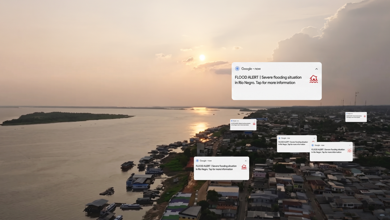
We provide crisis response updates on Search and Maps with SOS alerts, which gather relevant information from authorities and trusted media. And we partner with authorized alarm originators and distributors in over 90 countries to augment emergency alerts and public alerts with public alerts. Our crisis information has had billions of views; Last year alone, Google helped connect people with crisis information more than 10 million times a day on average.
For the information to be useful, it must be actionable. So e.g. provides extreme heat alerts on Search alerts to people in over 100 countries, including safety tips from the Global Heat Health Information Network. The Android Earthquake Alerts System detects earthquakes and warns Android users before the tremors reach them to give people time to get to a safe place. Updated air quality data is available on Google Maps in over 30 countries to help users reduce their exposure to pollution.
Ongoing support for a shared global mission
Building global resilience requires collaboration. By partnering with governments, UN agencies, organizations, scientists and first responders, we can help keep communities everywhere safe from natural disasters.
In Nigeria and Bangladesh, GiveDirectly and the International Rescue Committee have used our flood forecasts to drive proactive action, distributing emergency cash ahead of rising waters so communities can evacuate and protect their belongings. During Hurricane Melissa, when the US National Hurricane Center used our WeatherNext model, Jamaican landfall was predicted five days ahead, allowing the Met Service in Jamaica to notify the public. And around the world, Google.org partners with local organizations and funds disaster response.
Over the past decade, we’ve made progress driving AI-based research breakthroughs and solutions for climate resilience that provide actionable, timely information to communities around the world. I am optimistic that by leveraging artificial intelligence and collaborating with our partners, we will move closer to a world where no one is surprised by a natural disaster.